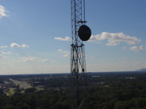
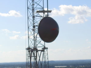
Our aerial inspection services document surfaces and objects—such as bridges, towers, rooftops, and vertical structure faces (walls, dams, land features)—in close proximity and high-resolution. Reviews of pipelines, power lines, dikes and roadway assets can be documented and mapped. Visualize structural details from many angles, create a georeferenced image database for safe and efficient post-flight inspection. These inspections can cut down on work in dangerous conditions and various safety issues.
Inspections completed in visible light and thermal. Inspections will collect data for repairs and maintenance schedules. Images will also give detailed information on contamination, rust, and other issues. This information can help to avoid shutdown of facilities and equipment.

